
We've begun a very informal brand of preschool homeschool in which I have designated each weekday two subjects and if we have time, I come up with a quick activity related to that subject for while Feral Kid is napping. Tuesdays are for History/Geography and Phys. Ed (because it's normally our swimming day; I want to make it our skating day in the wintertime.)
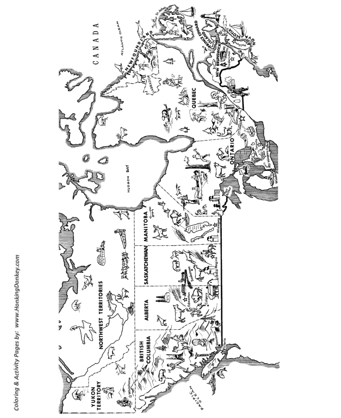
Today we did an introduction to the provinces of Canada. We spent about an hour on this (guided by Scout Kid's interest) and did the following:
-Colouring maps of Canada, including drawing Scout Kid's house and Grandmommy's house, not to scale.
-Singing a song of the provinces that my mum invented for us years ago, slightly modified to fit in Nunavut because when I was your age there was no Nunavut. I might make a video of Scout Kid and I singing it sometime, once he learns to actually say the words instead of humming along in nonsense-language.
-Reading Paddle-to-the-Sea
-Zooming in and out on the satellite view of Canada on Google Maps. We talked about how the different colours meant water, trees, rocks, snow, mountains, and fields, and I showed him our house, and Northern Canada, and Hudson Bay and the Rocky Mountains.
*Disclosure: book link through my Amazon Associates account.
No comments:
Post a Comment